About Honeycomb
Honeycomb is a browser-based geospatial data analysis tool, designed specifically for interactive analysis of point and place data. 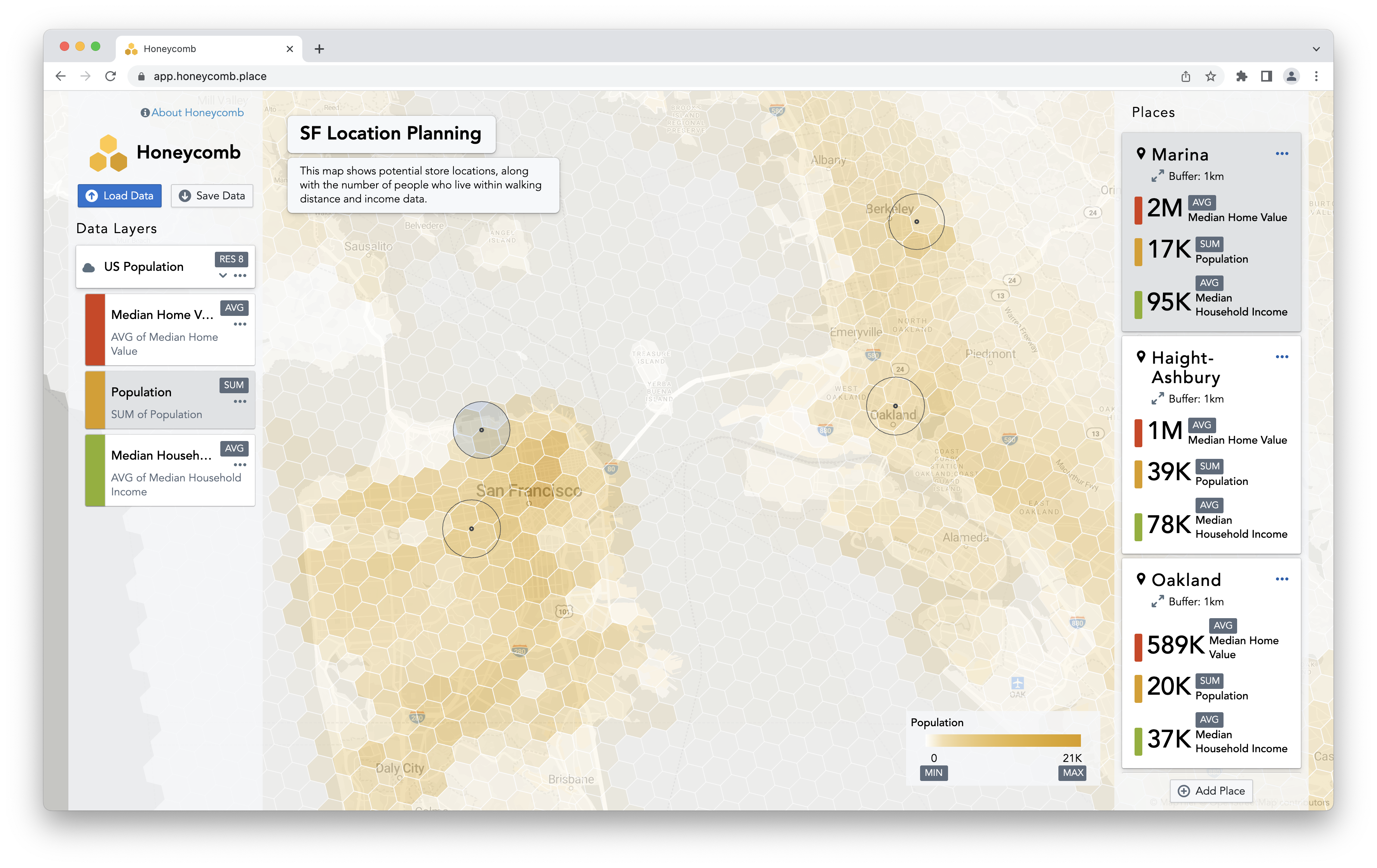
Why run in the browser?
By doing all computations in the browser, rather than sending queries to a cloud data warehouse, Honeycomb is able to achive a more responsive user experience while reducing cost and architectural complexity. This opens up many possibilities:
- Analyzing different places and seeing results instantly
- Sharing public maps without worrying about the impact it will have on your cloud data warehouse bill
- Combining multiple remote data sources into a single analysis, without copying data
What is geospatial data analysis?
Geospatial data analysis is any type of data analysis that deals with location. It's as simple as that. In the past, geospatial technologies like QGIS and GEOS havs developed on a separate track from mainstream data analysis tools like SQL and Excel. This is regrettable, as location data holds tremendous potential business value and limited geospatial expertise and siloed tools limit the usefulness of this data. A core goal of Honeycomb is to make analysis of location data straightforward for those coming from other domains.
How is Honeycomb different than other solutions?
Traditional business analytics tools
Honeycomb offers more detailed spatial analysis than traditional business analytics tools. Rather than relying on pre-built maps of geographies, Honeycomb allows for on-the-fly spatial aggregation and filtering.
Desktop-based GIS tools
Desktop-based GIS tools are extremely powerful and focused on spatial data creation and editing. However, they are not designed for aggregating, filtering, and visualizing large amounts of spatial data in a business context. Additionally, being desktop-based, it is difficult to share maps without emailing files.
Cloud-based geospatial tools
Cloud-based geospatial tools have grown in popularity the past few years as they offer an easier way to visualize and share geospatial data. However, these tools rely on backend data processing, often using a cloud data warehouse. Honeycomb is different as all processing is done in real-time on the client.